Bayes Centre News: The Bayes Centre welcomes New Member: EOLAS
The Bayes Centre is pleased to welcome EOLAS as its newest community member. EOLAS Insight provides easy access to the latest mapping technologies for professionals needing geospatial information, but either don’t have the time or the expertise to accommodate complex Geographic Information System (GIS) based analysis.
Founded in October 2020 and growing out of the vibrant Scottish Space Engineering Sector,

EOLAS Insight are a team of GIS specialists, data scientists, satellite data analysts and general technologists who first started out by addressing a particular challenge: How to best monitor the Red Deer Population in Scotland whilst reducing the cost and environmental impact.
Their solution was to use artificial intelligence to automatically detect animals in aerial and satellite imagery. By using wide area images, they can detect, classify and analyse not only animals but also their habitat. This methodology can be applied to any animal population detectable in satellite imagery - from deer, cattle, sheep, camels, to elephants, giraffes, and more.
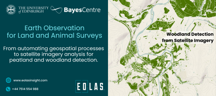
Since then, EOLAS has expanded its missions and have set out to address a multitude of environmental challenges and develop tools which simplify and accelerate map creation. After deer detection, woodland and land classification were the natural next steps, however, working on peatland condition detection and monitoring is especially close to their hearts. While there are several existing datasets and tools which may aid with peatland restoration or also natural capital projects, these are often based on datasets which do not always best represent true ground conditions. Across their work, they believe that rather than fixating on a single technology and data source, they employ the best approaches using a variety of technologies and available datasets to create bespoke and optimal solutions. They feel it is imperative that the synergy of national-level data, expert insights from for example ecologists, landowners, geospatial consultants, or contributions from environmentally-focused organisations forms a potent approach in enhancing not only decision-making during hands-on projects, but also when building robust machine learning frameworks and automated processes for the people on the ground. Besides, blending metrics and maps with on-the-ground context is pivotal in transforming geospatial information from abstraction to real-world impact.
It is well known that geospatial projects can be repetitive, time-consuming, and laborious. Organisations often have to perform the same operations repeatedly with mapping professionals. Thanks to the advances in machine learning, AI, and cloud computing – EOLAS harnesses the power to automate those money and time-consuming activities. This leaves space and focus for what is truly important: Informed decision-making and the engineering of solutions.
EOLAS are experts in multifaceted, complex geospatial data analysis. EOLAS use their skills to provide bespoke services for specific customer problems, before auto-generating geospatial insights for clients. They are proud to offer their technologies to support ecologists, land managers, conservationists, farmers, and estate managers in looking after their part of the world and the wildlife in it.
Related Links
EOLAS Earth Observation for Land and Animal Surveys (eolasinsight.com)

