
Land Surface Dynamics and Geomorphology
Airborne sensing provides an exceptional tool set for studying the changing landscape and the processes that shape it.
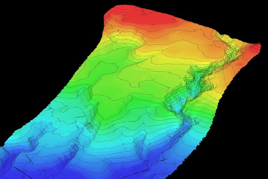
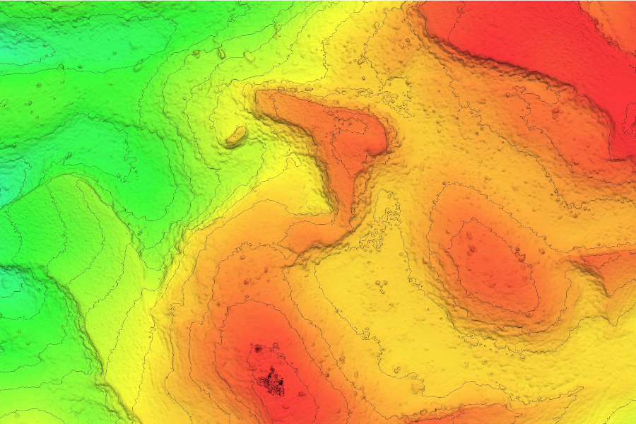
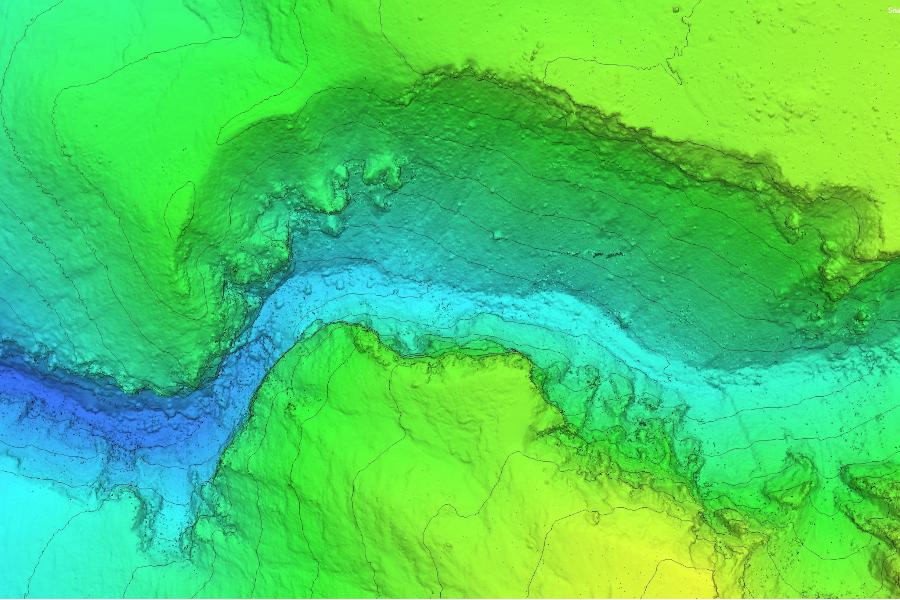
The ability of airborne sensing to model and measure the environment in three dimensions in great detail over a wide range of spatial scales allows us to provide unique insight into the processes shaping and forming our landscapes. Repeated surveys, accurate to the cm-level, allow us to detect small changes over time and hence to measure rates of change, which leads to a better understanding of the processes involved, and, in some cases, the early identification of natural hazards such as slope instability.
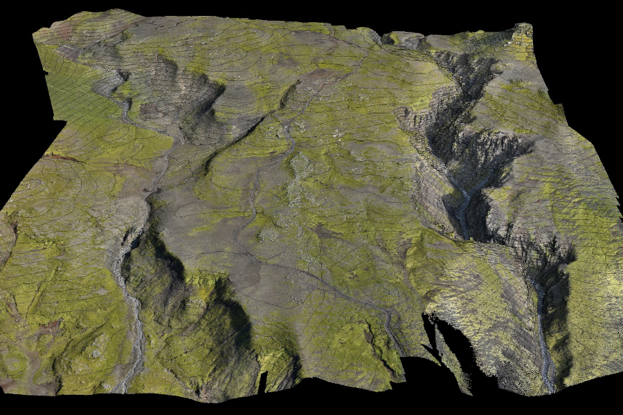
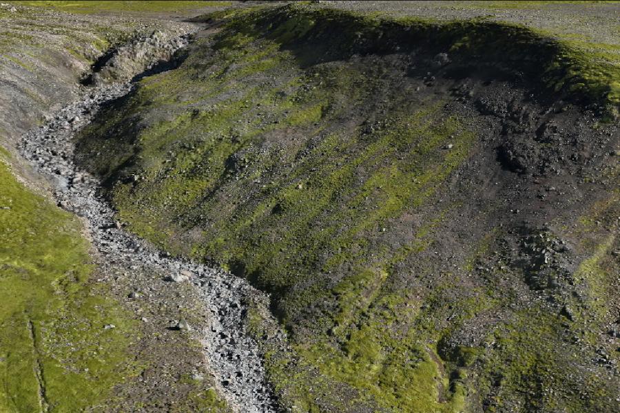
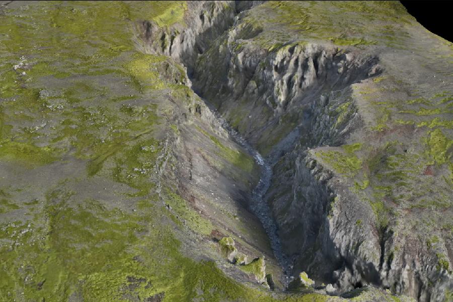
Aerial photogrammetry (also know as Structure From Motion, SfM) uses large numbers of heavily overlapping photographs to build a 3D cloud of points representing the landscape, which can be used to develop very detailed digital elevation models (DEMs), orthomosaics (composite photo-maps, geo-referenced and fully corrected for topography etc.), and 3D models (meshes overlain with imagery to form what is basically a 3D photograph of the survey area). Our latest systems combine both vertical and oblique photography to provide even more three-dimensional detail on steep and vertical faces.
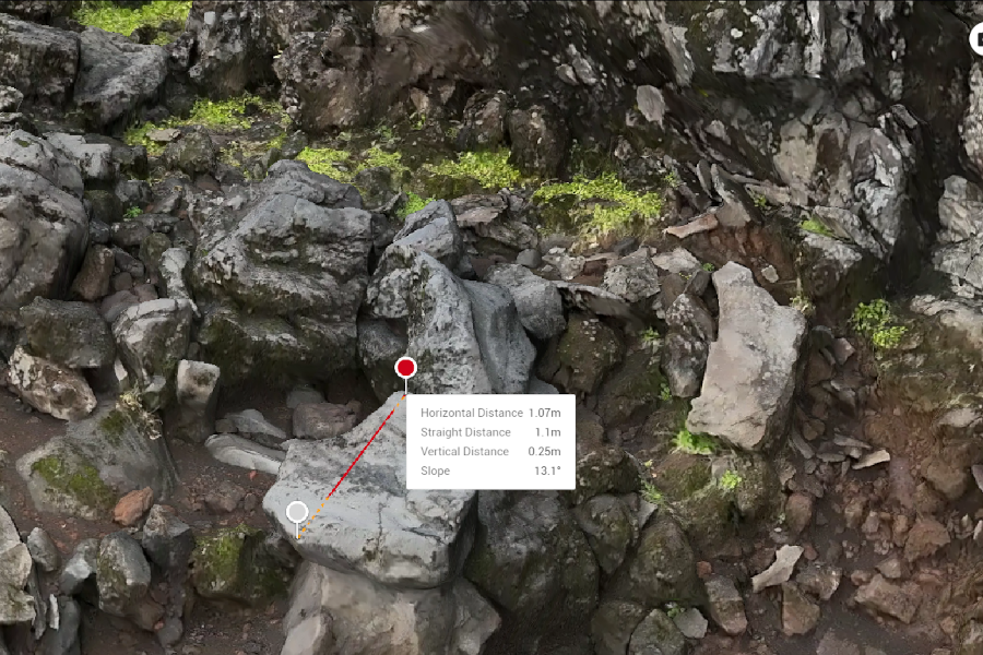
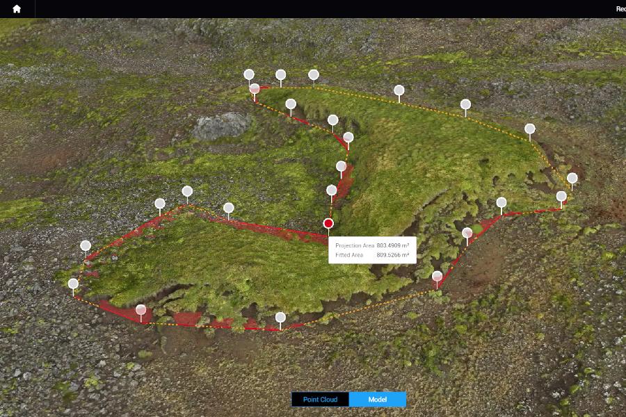
Such products contain an enormous amount of detail and can be explored and analysed in both qualitative and quantitative fashion. For example, cross-cutting relationships between erosional and depositional features can be analysed to reveal a chronological sequence of events within the landscape, while individual features can be measured in detail to cm-level accuracy to help quantify the scale and rate of processes taking place, and the natural forces involved. Our software packages allow the measurement of length, area and volume of individual features very accurately with just a few mouse-clicks. Depending on the resolution of the survey data, grain sizes ranging from 10's of metres down to the cm-level can be measured (our highest resolution data is sub-mm in resolution).
Where vegetation masks the ground surface our drone LiDAR system provides a capability to penetrate the canopy and create an detailed, accurate digital terrain model of the underlying micro-topography.
 `
`  `
`  `
`  `
`  `
`  `
`  `
`  `
`  `
`