Application areas
The applications of airborne sensing are extremely diverse and are increasing all the time as new technologies become available.
The applications of airborne sensing are extremely broad, both with the geosciences and beyond, but a number of the areas in which we commonly work are briefly outlined below. Please do contact us to find out more or to discuss how we might support your research.
Land Atmosphere Interactions
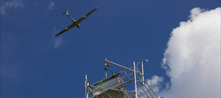
Combining high frequency meteorological and chemistry measurements we are able to study the processes that exchange energy, moisture and trace gases between the land surface, vegetation and the atmosphere.
Forest Health and Productivity

Airborne sensing provides a means to study the health and productivity of forests at very high spatial and temporal resolution, and to monitor the impacts of human activity on these vital ecosystems.
Land Surface Dynamics and Geomorphology
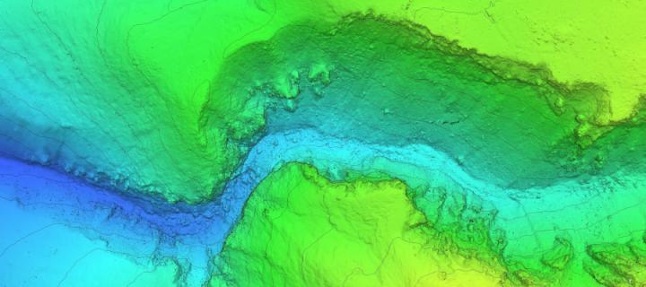
Airborne sensing provides an exceptional tool set for studying the changing landscape and the processes that shape it.
3D Imaging
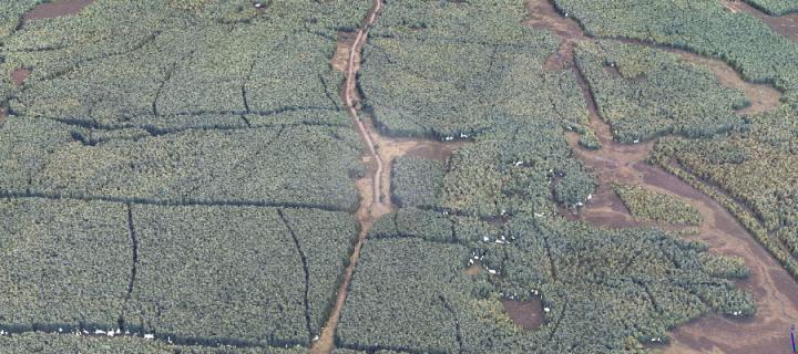
We are able to create detailed 3D models and point clouds of landscapes, vegetation and architecture using both laser-scanning (LiDAR) and photogrammetric tools.
Atmospheric Monitoring
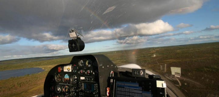
With in-situ gas analysers and samples collected in flasks or bags, we are able to support studies of regional atmospheric chemistry and air mass evolution.
Changing Ecosystems
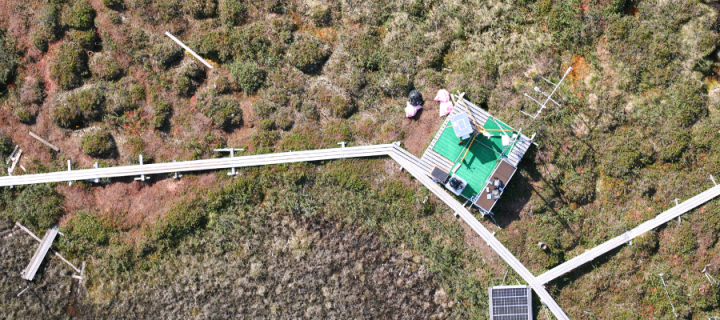
Across the world, natural ecosystems are being subjected to change in various ways, be it through direct change in land use or changes in local climate. Airborne sensors provide a unique set of tools to help study these changes.
Coastal and Marine Systems
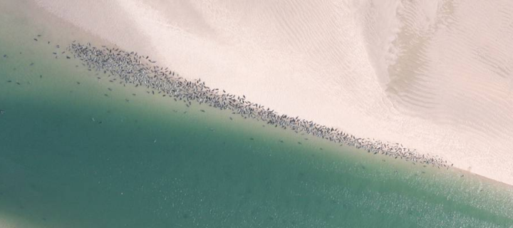
Our manned and unmanned aircraft can be used to study and monitor our changing coastlines and the life they support.
Precision Agriculture
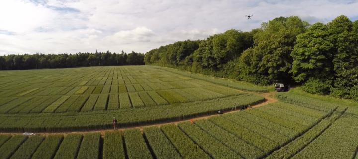
Airborne sensing provides new tools for precision agriculture, reducing costs and environmental impacts.

