Precision Agriculture
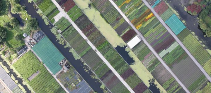
Airborne sensing provides new tools for precision agriculture, reducing costs and environmental impacts.
Very high resolution imagery from aircraft and small UAS can provide the information that farmers need to apply precsiely the required amount of fertilser, pesticide or other management to different areas of their crop, reducing both cost and adverse environmental impacts.
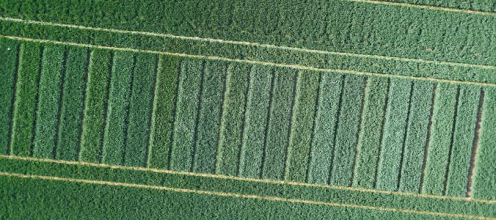
They also provide invualable research platforms gathering detailed data on trial crops (and in some cases animals), and are commonly used in conjunction with both ground sensor networks and satellite data products.


