Tabula Nortmannorum: A Geospatial Guide to the Viking Age
Tabula Nortmannorum is an interactive online environment to explore, map, and interpret Scandinavian activity across the Viking world.
NB: The Tabula Nortmannorum project is still very much alive, but currently on hold. Further updates are expected in the autumn of 2021.
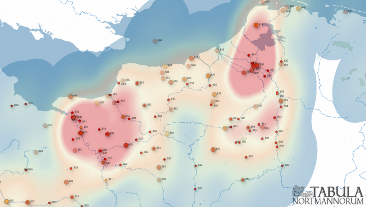
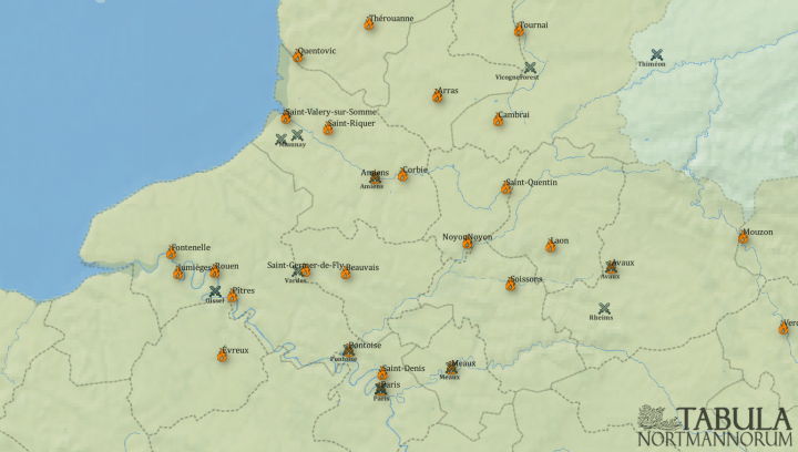
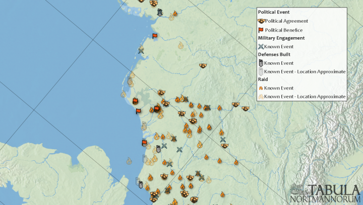
Currently under development, the Tabula Nortmannorum represents a pioneering endeavour to establish an interdisciplinary and fully interactive online resource for the study of the Viking Age (c. 750-1050 CE). Featuring a web-based GIS interface, the Tabula will allow its users to explore and spatially analyse a comprehensive, georeferenced database of primary evidence, visually linking Scandinavian commerce, conflict and co-existence across and beyond their various European theatres. At present, planned features include customisable and multi-layered mapping of Viking activity, references to relevant primary and secondary literature, and a timeline component, which will allow users to chronologically pinpoint and collate specific historical events, archaeological deposits, and onomastic elements. By mapping the Nordic origins, overseas movement, and diasporic influence of the Viking phenomenon, this project aims to provide a broad and innovative reference framework for prospective academic research.


