Schools & departments
MyEd
Search:
Search
Airborne Research and Innovation
Menu
Airborne Research and Innovation home
About Us
Airborne Research
Teaching and Student Projects
Quality and Safety
Working with Us
Contact Us
Galleries
Home
Airborne
Galleries
Contact us
Galleries
Some image galleries showcasing the work of our facility
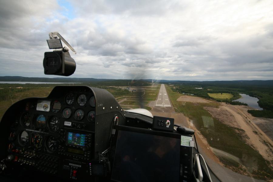
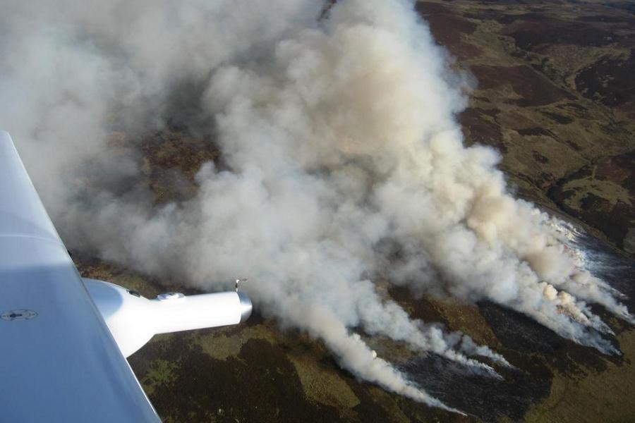
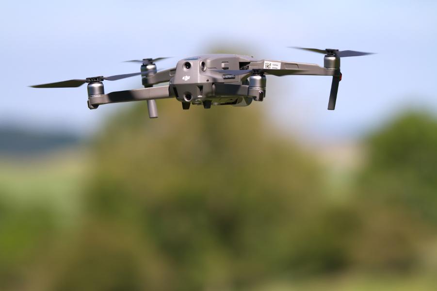
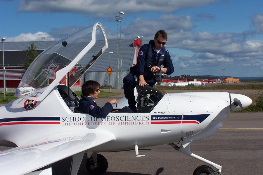
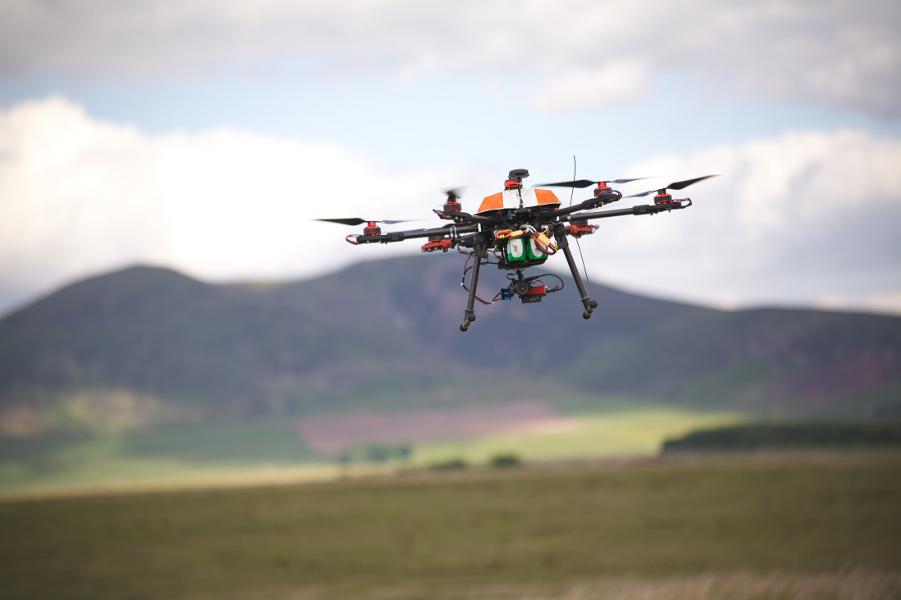
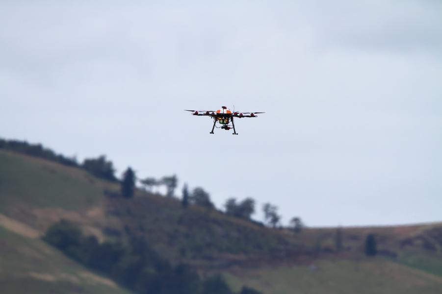
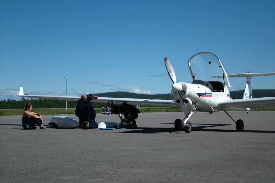
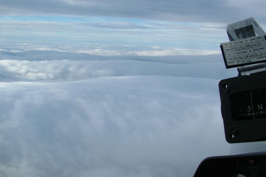
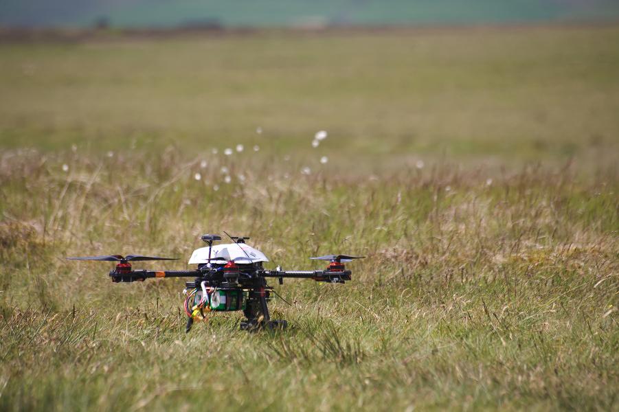
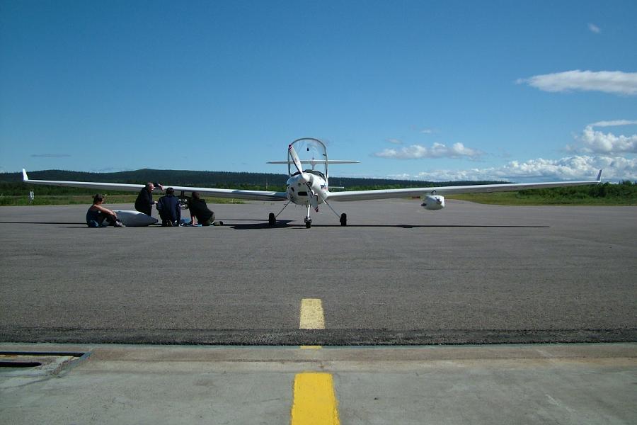
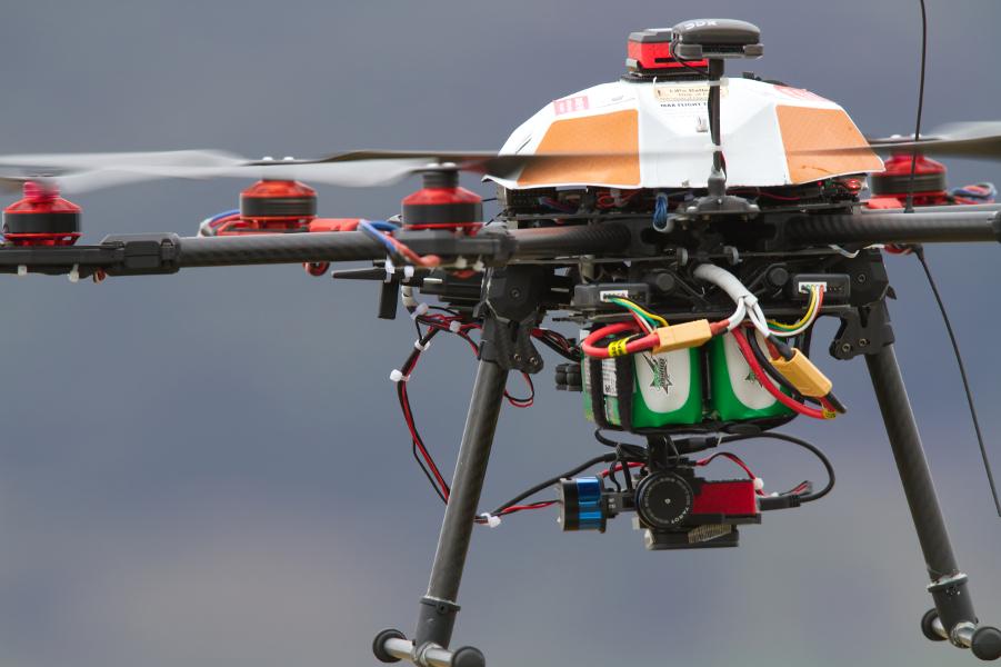
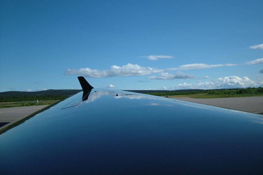
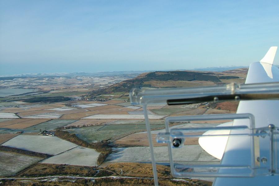
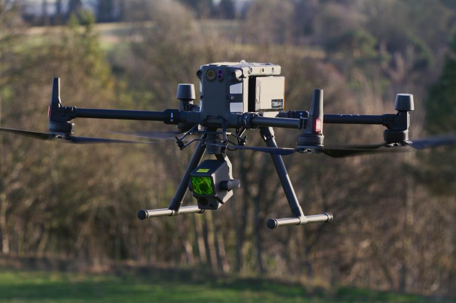
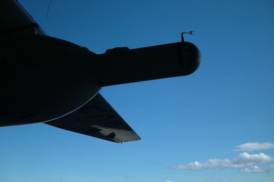
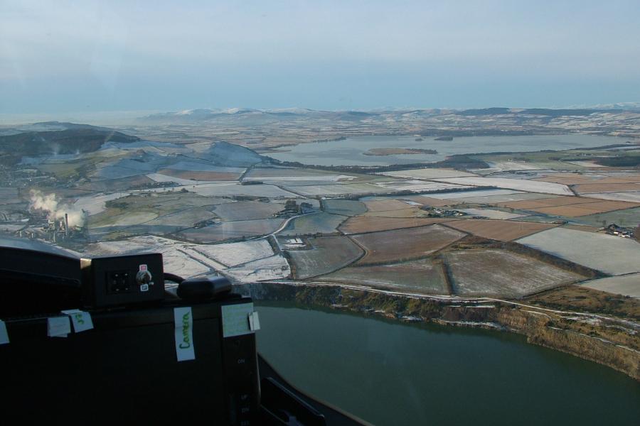
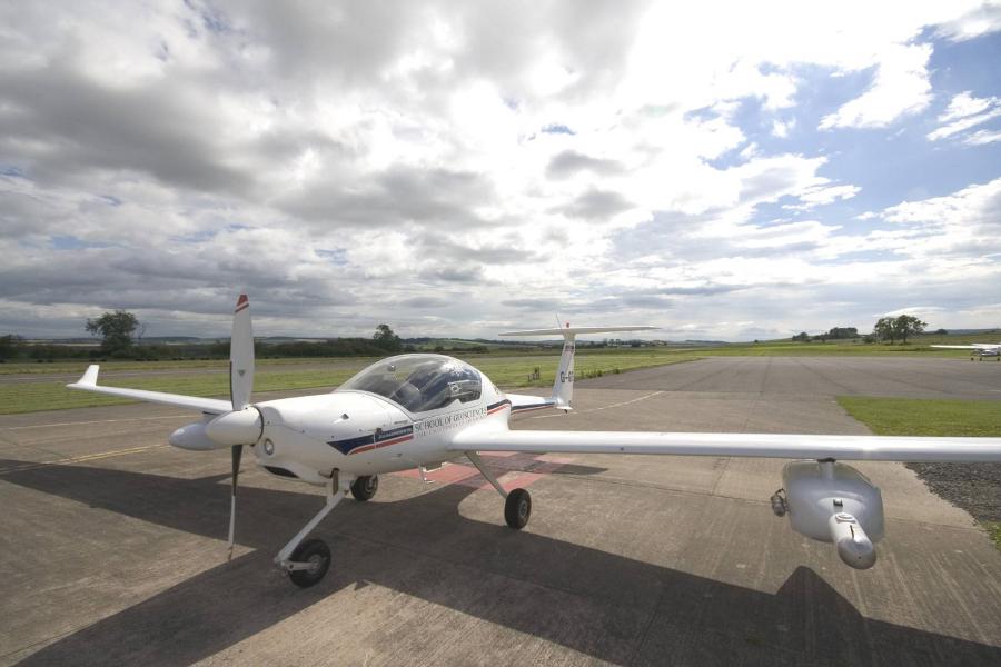
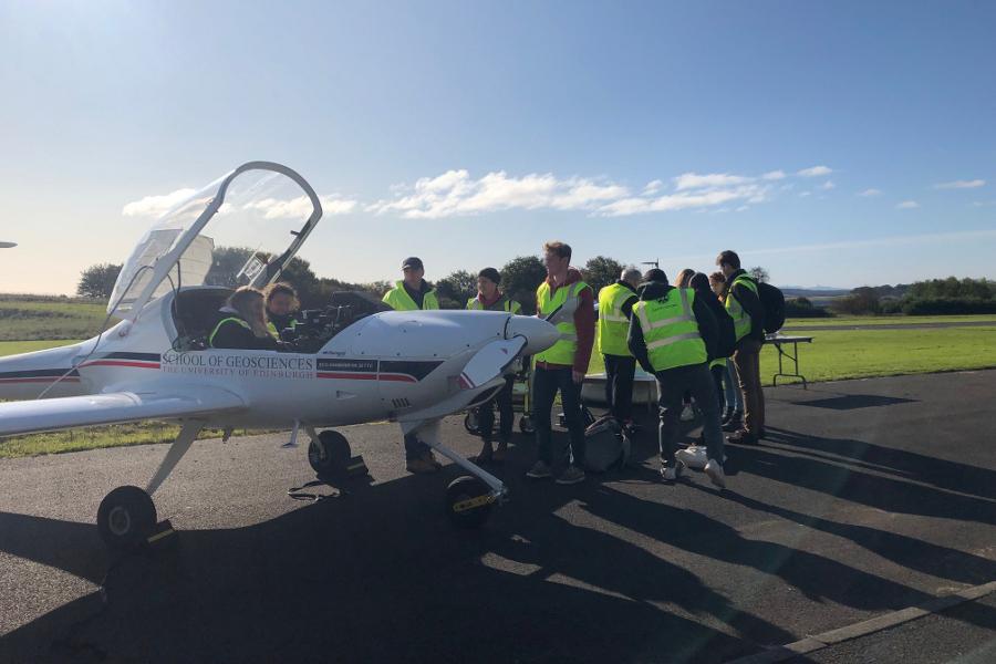
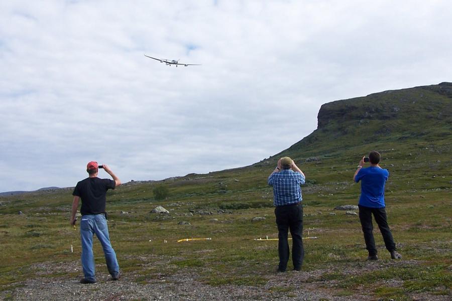
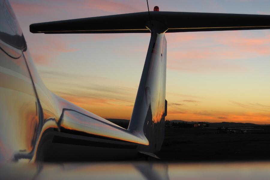
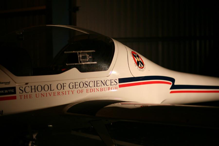
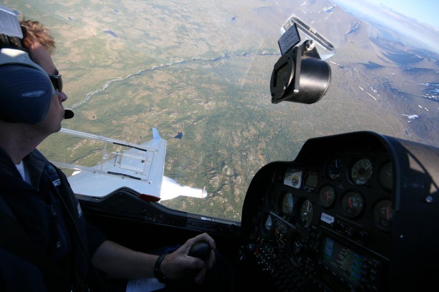
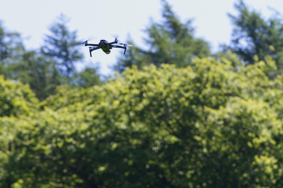
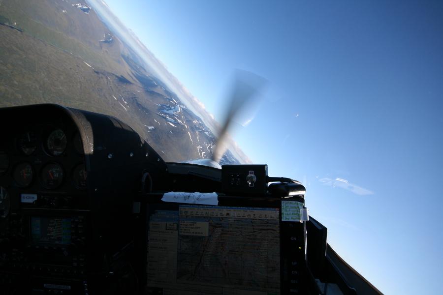
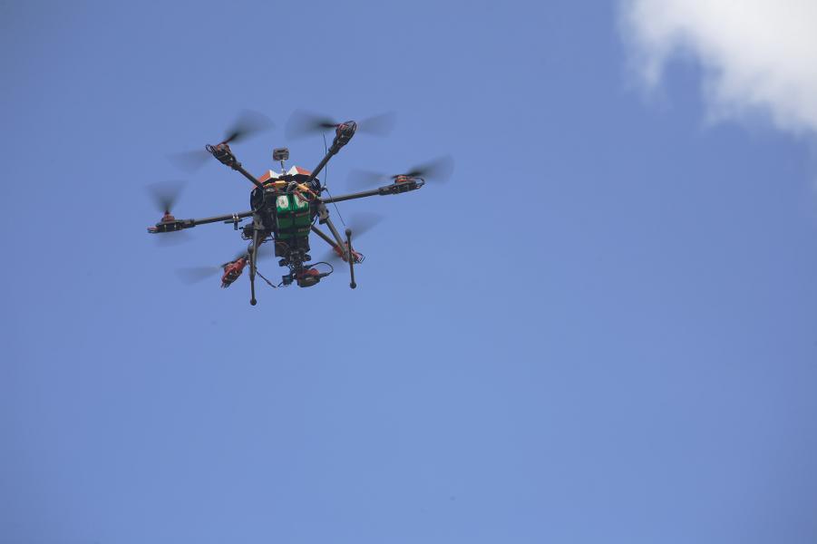
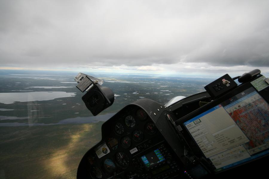
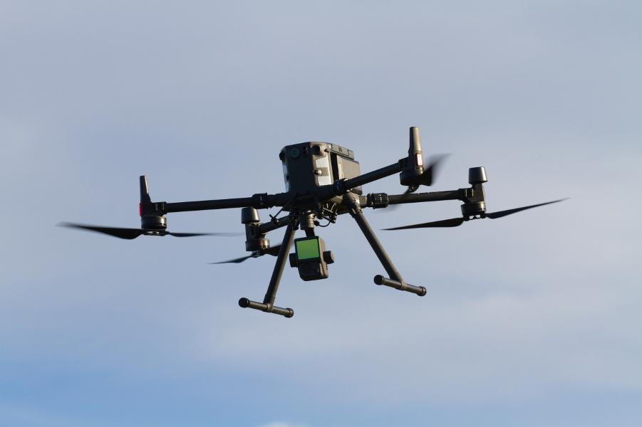
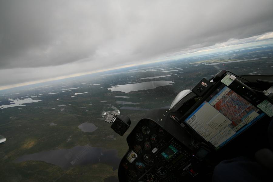
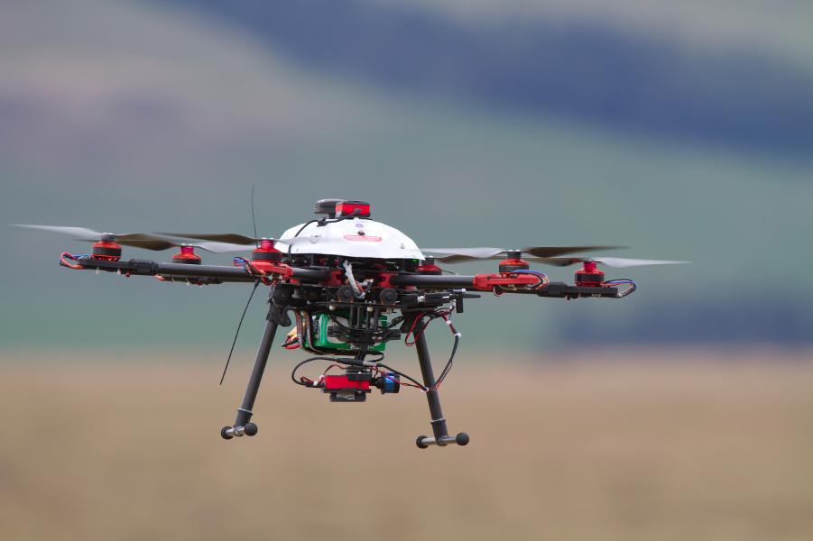
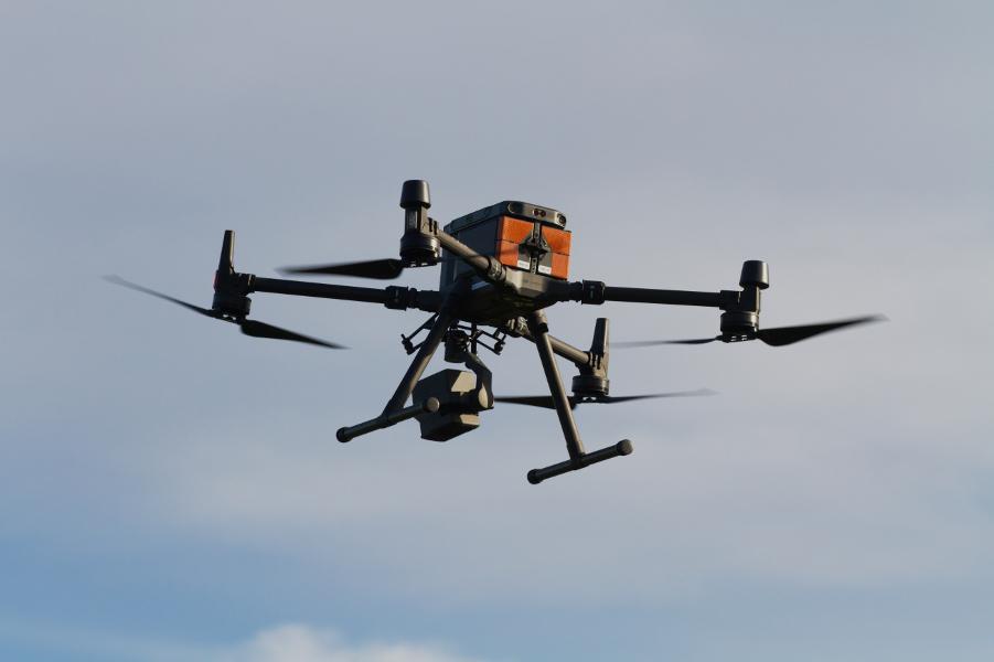
Airborne Research and Innovation in action...
`
The ECO-Dimona approaches Ivalo airport, northern Sweden, fully a successful data acquisition flight.
`
Rotterdam refineries imaged from above by the ECO-Dimona aircraft
`
One of our T680 drones heads off on another multi-spectral survey flight using a gimballed Parrot Sequoia sensor.
`
Peatland burning in the southern Scottish Highlands, from the ECO-Dimona
`
The Mavic 2 Pro is very sophisticated, very easy to fly, and extremely portable, and is proving very useful for small scale, high resolution photographic survey and photogrammetry.
`
Flight crew embark in the ECO-Dimona prior to a research sortie in northern Sweden.
`
A T680 drone recovering to land at Auchencorth Moss, following a vegetation mapping multi-spectral survey.
`
Pilot Tom Wade refuels the ECO-Dimona at Tampere airport, Finland, prior to a research sortie.
`
A T680 drone on survey.
`
The science team prepares the ECO-Dimona's equipment prior to a research sortie.
`
Rolls of cloud form in a standing wave over the Scottish Highlands, from the ECO-Dimona cockpit
`
A T680 drone takes a well earned rest among the cotton grass at Auchencorth Moss, Scotland.
`
The ECO-Dimona is readied for another sortie, Kiruna, northern Sweden
`
Close-up of a T680 drone in the hover.
`
The sky reflects on the ECO-Dimona wing.
`
The Fife countryside under light snow, with the ECO-Dimona's right underwing hand pod ('Pod 2'). This pod normally houses high-precision atmospheric chemistry sensors,
`
Our DJI M300 RTK with L1 LiDAR sensor fitted.
`
The ECO-Dimona's left hand pod ('Pod 1'), equipped with a hemispherical turbulence probe and a suite of meteorological instruments.
`
The Fife countryside under a dusting of snow, from the ECO-Dimona's cockpit.
`
The ECO-Dimona at it's home base at Fife Airport, with underwing pods fitted. Each pod can be loaded with scientific equipment up to a total weight of 55kg.
`
The ECO-Dimona a regular attraction on a number of taught courses, with students able to learn about both the instrumentation and the aircraft itself.
`
The ECO-Dimona flies low over the tundra landscape near Abisko, northern Sweden. Onboard systems are able to produce estimates of the exchange of CO2, H2O and heat between the land surface and the ground.
`
The sun sets behind the ECO-Dimona at the end of an autumn day of atmospheric profiling over the Scottish highlands.
`
The ECO-Dimona in a darkened hangar at the end of a long day of system calibrations.
`
Turning over an arctic landscape during a high level photographic sortie; ECO-Dimona .
`
Mavic 2 Pro drone flying low during a high resolution survey to study pollinator habitats, Fife.
`
Repositioning for another survey line, northern Sweden.
`
Our T680 drones were custom built in house and provide a useful and adaptable platform for payloads up to around 1 kg.
`
\Working around the weather, near Kevo, northern Finland (ECO-Dimona).
`
The DJI M300 RTK in flight. This system can carry a range of sophisticated sensors.
`
A beautiful arctic landscape in Lapland, from the ECO-Dimona cockpit.
`
The gimballed Parrot Sequoia multispectral sensor mounted on a T680 drone. The associated irradiance 'sunshine' sensor is seen mounted on the top of the aircraft.
`
DJI M300 RTK with L1 sensor.
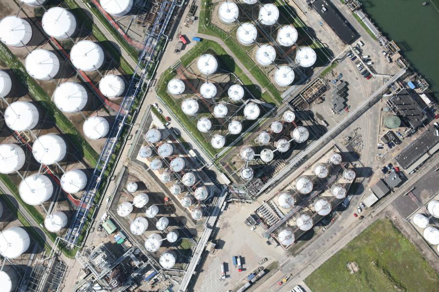
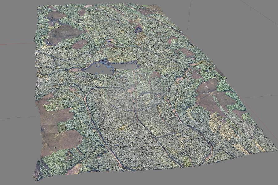
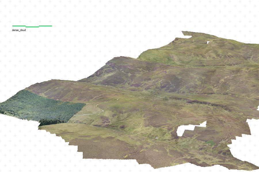
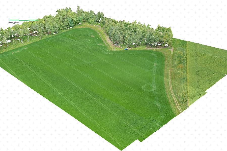
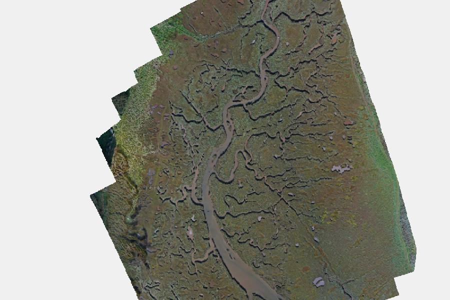
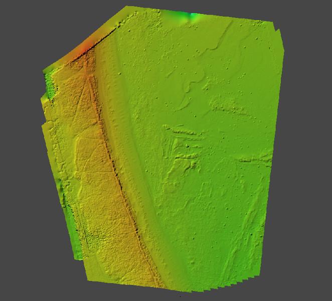
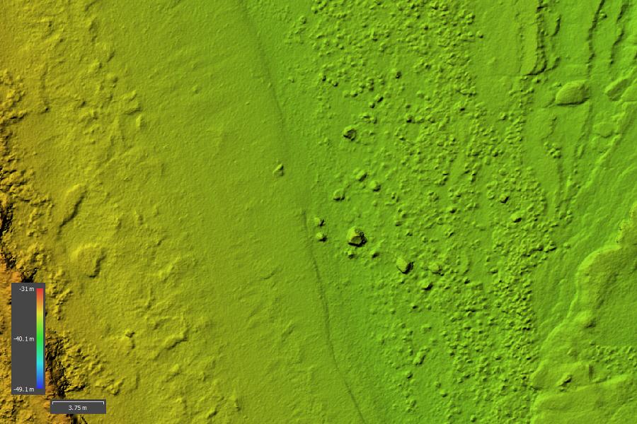
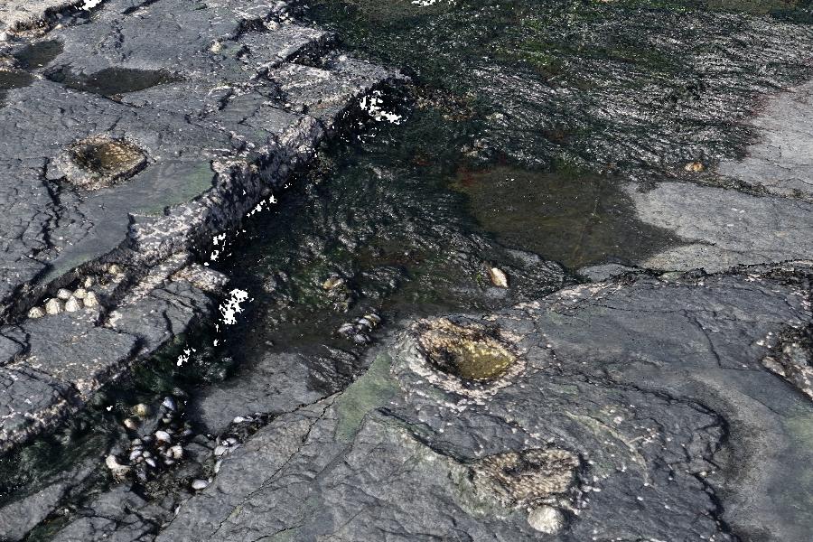
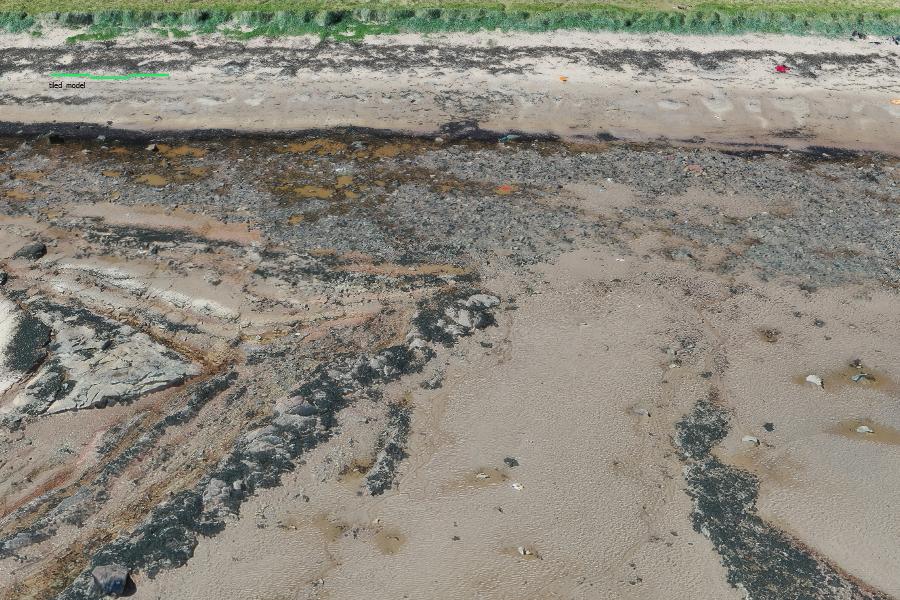
Some geospatial data examples:
`
Griffin Forest, Scotland, in 3D using aerial photography from the ECO-Dimona
`
Lake Vyrnwy catchment, N Wales, in 3D using aerial photography from the ECO-Dimona
`
3D image of an arable field near East Saltoun, in East Lothian, Scotland, from drone imagery.
`
Orthomosaic of the saltmarsh next to Tyne Sands, Tyninghame, in Scotland, from drone imagery.
`
Digital elevation model of the beach at Tyne Sands, Tyninghame, Scotland, from drone imagery.
`
Digital elevation model of the beach at Tyne Sands, Tyninghame, Scotland, derived from drone imagery, at high zoom.
`
3D model of Fossil dinosaur tracks at Brothers Point, Skye, from ultra-high resolution drone imagery.
`
3D model ('tiled mesh') of part of the beach at Tyne sands, Tyninghame, from drone imagery.
This article was published on
31 May, 2022